Community Corner
More Snow on the Way: Up to 10 Inches Possible This Weekend
Saturday storm will be New Jersey's second measurable accumulation in less than a week.

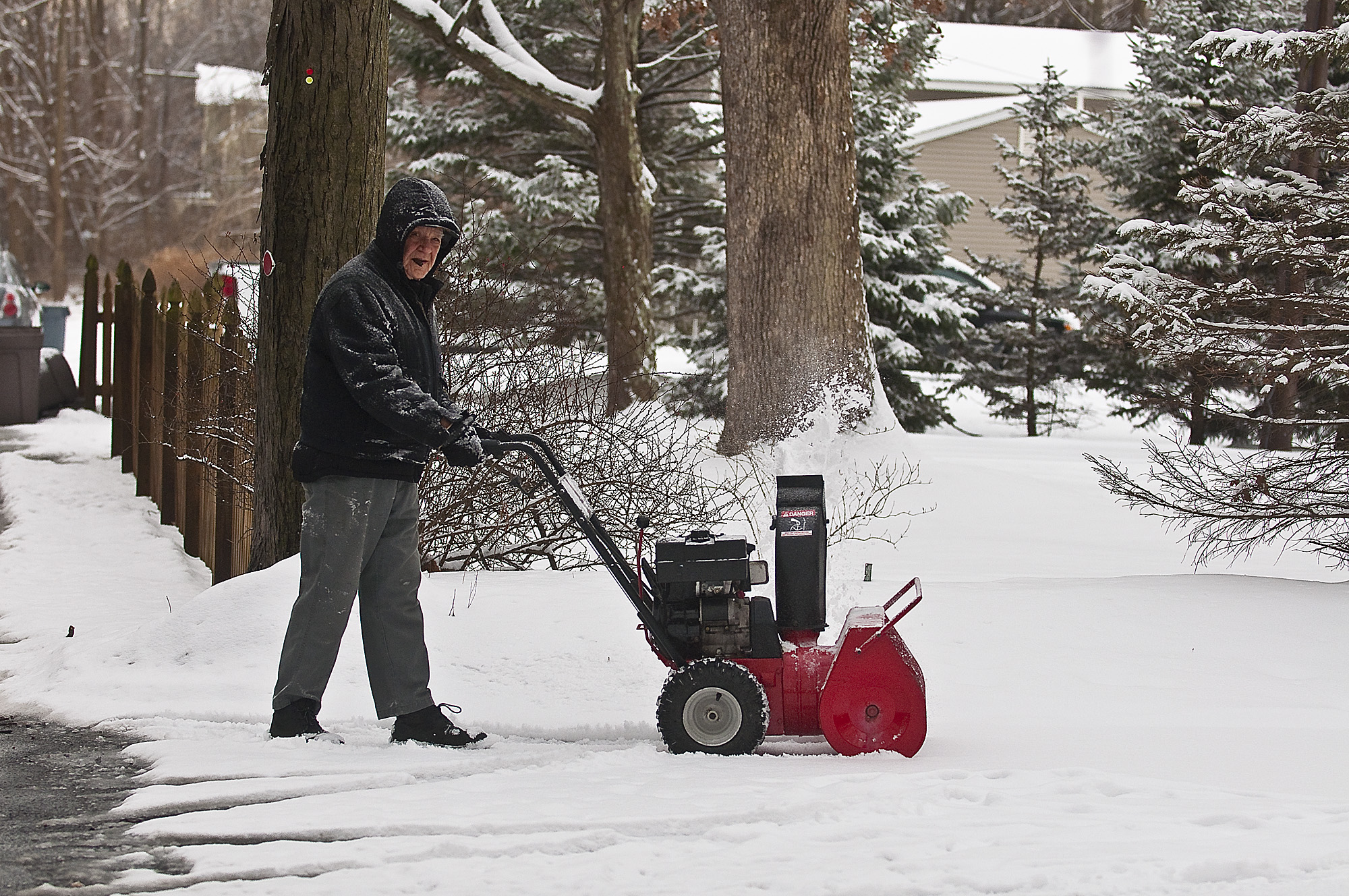
Northern New Jersey will need to brace for a substantial snowfall this weekend as forecasters are predicting 5 to 9 inches to blanket the area before Sunday morning.
A low-pressure system is working its way up the Delaware coast into New Jersey Friday into Saturday, according to National Weather Service meteorologist Joey Picca.
Snow will begin to fall Saturday morning across northern New Jersey and precipitation won’t let up until daybreak on Sunday. Depending on location, however, residents could see up to half-foot difference in accumulation totals.
Find out what's happening in Long Valleywith free, real-time updates from Patch.
Areas closer to New York City will see 4 to 6 inches of snow, while points northwest could see 8 to 10 inches of snowfall. Generally, Picca said, the National Weather Service is expecting anywhere between 5 and 9 inches across the region.
For points east, Saturday night into Sunday will bring sleet and possibly rain, Picca said, resulting in “a slop” when warmer temperatures make their way through the area to end the weekend.
Find out what's happening in Long Valleywith free, real-time updates from Patch.
The bulk of snowfall is expected Saturday afternoon, with a lighter powder coming in the morning, followed by a wetter, heavier mix in the afternoon and into the evening.
Temperatures will be in the mid- to upper-20s Saturday, but warmer air is expected to push through the storm and bring a high in the low-30s Sunday morning.
Saturday’s storm will be the third in less than a week across northern New Jersey after ice and more than 3 inches of snow fell Sunday through Tuesday.
Get more local news delivered straight to your inbox. Sign up for free Patch newsletters and alerts.

